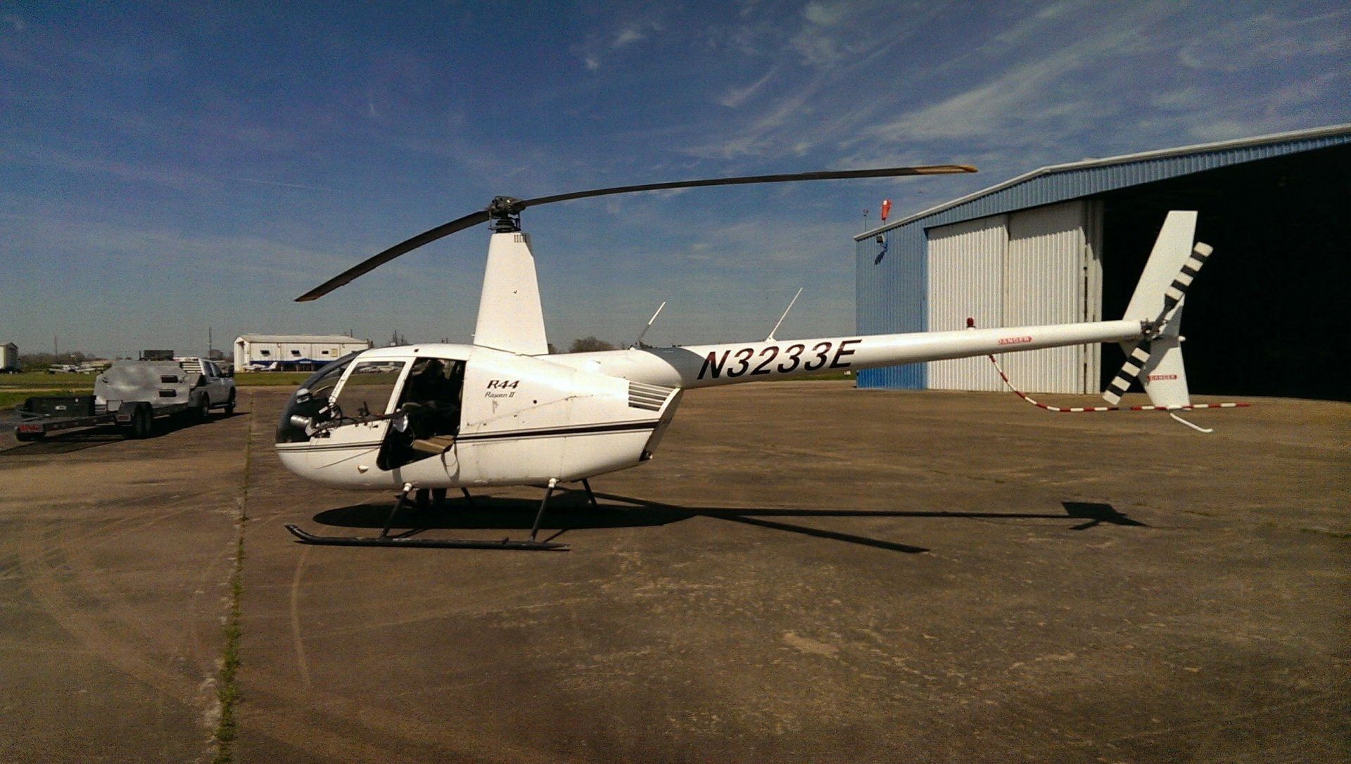
LAAS – Low Altitude Aerial Surveying
What is it?
Low Altitude Aerial Scanning
is a new technology that High Tide Surveying, LLC
is introducing into to the land surveying market. The data collecting equipment utilized has the ability to penetrate vegetative cover and is survey grade with horizontal and vertical accuracies on the order of 0.2 feet. This technology utilizes only one ground survey control point. Data is acquired at a rate of approximately 1/2 acre per second.
Why use this technology?
Low Altitude Aerial Scanning technology can be utilized for the mapping of railroads, highways, utility corridors, canal and levee systems, as well as large acreage tracts. Compared to traditional surveying techniques, this method provides a greatly increased amount of survey data at a fraction of the time and is significantly more cost effective.
What kind of data is provided?
Approximately two weeks after the field work is completed, High Tide Surveying, LLC supplies the following deliverables to our clients: ground classified data point file, 3-dimensional digital terrain model, contour map in .dwg format, and GIS grid file. These items are transmitted via email as well as on a flash drive.


