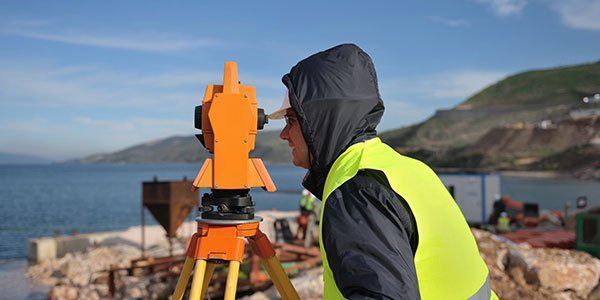
Hydrographic Surveying
What is it?
A Hydrographic survey
depicts the location and depth of existing and manmade water features such as creeks, rivers, ponds, lakes, and bays. This type of surveying can be done in a number of different ways, from probing the bottom with traditional surveying technology, to using lead lines to perform depth measurements, all the way up to GPS enabled SONAR data collection.
What is it used for?
Hydrographic surveys are generally used for the design and verification of dredging projects that include wetland mitigation sites, boat canals, and ship channels.
Our approach?
HTS is on an island, and since we are surrounded by water, we find ourselves at home in the water. The experience of the staff of HTS is fully utilized when performing this type of work. We have completed multiple projects that have had a hydrographic component, and we have in house the specialized equipment needed to do this type of work.


