Galveston:
409-740-1517
200 Houston Avenue, Suite
B, League City, TX 77573
Your South Texas Surveying Experts
High Tide Land Surveying, LLC
officially opened for business in January of 2013 and since then we have striven to be cost effective, timely and accurate in every project we undertake. We have a great mix of technology, history, and know-how that allows us to get things done right, the first time. We employ the newest technology available, both in the field and in the office. We also have more than 70 years of historical maps and surveys available in-house to pull from. This mix of new and old allows us to start any project in the Galveston area with a head start, which translates into faster results from High Tide Surveying.
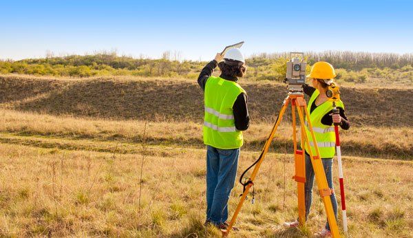
The staff at High Tide Land Surveying, LLC has extensive experience in many different types of surveying, from Title Surveys and Elevation Certificates for single family homes, to topographic surveys for large acreage tracts, ALTA/NSPS surveys for commercial property, and even Coastal Boundary Surveys for filing with the Texas General Land Office. Chances are that whatever it is you need from a surveyor; High Tide Surveying has already done that kind of work before! Contact
one of our three locations today to get started.
What We Do
Boundary Surveys
Performed in order to measure, mark, and map the boundary lines of land ownership.


Construction Surveys
Used in Real Estate transactions to show all improvements on a residential piece of property.

Hydrographic Surveys
Depicts the location and depth of existing and manmade water features.

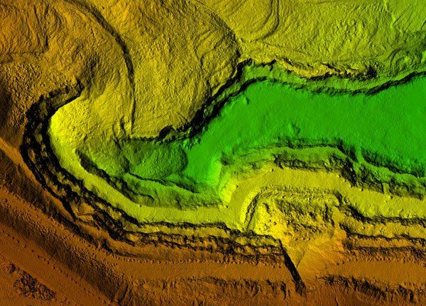
Low Altitude Aerial Surveying (LAAS)
Used for the mapping of railroads, highways, utility corridors, canal and levee systems, as well as large acreage tracts.


